Aircraft and road noise: how to check a property before you buy
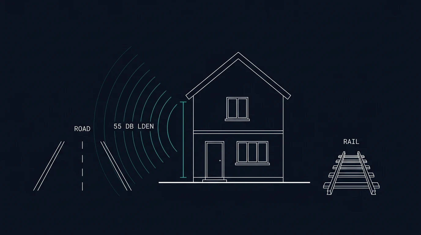
Noise is one of the few things about a property that no dataset describes well and no search will report. This guide explains how road and aircraft noise are mapped, what the numbers mean, and the practical checks that tell you more than any map.
The three numbers that come up
Decibels (dB). A logarithmic scale, so the numbers behave differently from percentages. An increase of 3 dB is the smallest change most people notice; 10 dB is roughly a doubling of perceived loudness. A conversation is around 60 dB, a quiet bedroom at night about 30 dB, a busy road at kerbside something like 70 to 80 dB.
Lden. A 24-hour average with penalties: 5 dB added to evening noise (19:00 to 23:00) and 10 dB to night noise (23:00 to 07:00). It is the headline figure in the strategic noise maps, and it is what the "share of postcodes at 55 dB Lden or more" figure on this site refers to.
Lnight. The average over the night period, used for sleep disturbance assessments. Maps show it separately because a road can be unremarkable by day and dominant at 2am.
For reference, the World Health Organization's 2018 environmental noise guidelines recommend reducing road traffic noise below 53 dB Lden and 45 dB Lnight, railway noise below 54 dB Lden and 44 dB Lnight, and aircraft noise below 45 dB Lden and 40 dB Lnight. These are health-based recommendations for population exposure, not legal limits, and no UK regulation enforces them at a given address.
Road and rail: how the maps work
Defra publishes strategic noise maps for England, with equivalent work by the devolved administrations. The current round (round 4) models noise from major roads and railways across England as it stood in 2021.
Read the method before trusting a number on a map:
- Modelled, not measured. The maps are calculated from traffic flows, speeds, road surface, barriers and building geometry. No microphone was placed outside your house.
- A 10 metre grid at 4 metres above ground. That is roughly first-floor level facing the road, a reasonable exposure height but not the same as a back garden at ground level behind a fence.
- A lower cut-off. Levels below 40 dB are not mapped, and below 35 dB for night metrics, so the maps show the noisy places rather than the quiet ones.
What this means in practice: a figure from the map is a good indication of whether a road is a significant source at the property, and a poor indication of what you will hear in a particular room. Buildings, gardens, walls and the direction of the windows all change the answer.
Aircraft: a separate set of maps
Aircraft noise is not in the Defra road and rail maps. It is mapped by the airports themselves, and published as contours — lines joining points with the same average noise level, usually at 3 dB intervals from 48 dB upwards, for both day and night periods.
Where to look:
- Heathrow, Gatwick and Stansted: contour reports and maps are published by the airports and collected by the Department for Transport in its airport noise contours collection.
- Other airports — Manchester, Birmingham, Bristol, Edinburgh, Luton and others — publish their own contour maps and annual reports, usually under a community or environment section.
- Flight paths are a separate question from contours. Airports run public flight tracking tools (WebTrak at several airports, TraVis at Luton, and similar), which show where aircraft actually fly, including how often a given area is overflown.
Two things to understand about contours. First, they describe the average over a period — a contour does not mean aircraft are audible constantly. Second, runway direction matters: prevailing wind means most UK airports operate in a preferred direction for most of the year, which concentrates arrivals or departures over particular areas and swaps them when the wind changes.
Night flying is governed by separate restrictions at the larger airports, including contour-area limits and quotas. The airport's own noise pages state what applies.
Why homes well away from the airport still hear arrivals
Arriving aircraft follow a fixed approach path, usually at about three degrees to the runway. That shallow angle has a consequence: altitude falls slowly with distance. As a rough rule, an aircraft on the path is about 300 feet above the ground for each nautical mile it is from the runway, so six miles out it is roughly 1,800 feet up. Sound carries from there, and more of it once flaps, slats and undercarriage are extended, because the airframe itself adds to engine noise.
So distance from the airport boundary is a poor guide on its own; whether the approach path passes overhead matters more. And contours are yearly averages of a modelled pattern, so a route used on some days only can be under-represented in a street that hears it clearly. Airports publish flight-path information, and several offer tracking tools.
What councils add
Environmental health handles noise complaints and may hold monitoring data or records of complaints about a road, a premises or a venue. It is worth a call for a street you are serious about, particularly if there is a pub, a plant yard, a rail depot or a busy junction nearby.
Planning is where you find out what might change the picture: a consented housing estate that will add traffic to the lane, a new distribution depot, a road scheme, or changes to airspace and flight paths. Airspace change consultations run for months and are published by the Civil Aviation Authority, so a change of flight path is something you can sometimes see coming.
The checks that beat the maps
- Visit at different times. A weekday 8am, a Friday evening, a Sunday morning. Stand in the garden, then in the main bedroom with the window shut, then open.
- Listen for the gaps. Constant traffic noise and intermittent aircraft noise are different experiences. A flight every two minutes is more intrusive than a steady hum, even at the same average level.
- Check the road layout. A junction with traffic lights, a bus stop, a hill where vehicles accelerate, or a bend where tyres squeal all change the sound. So does the road surface: a recently resurfaced road is quieter than a coarse older one.
- Notice the barriers. Earth bunds, solid fences, dense hedges and other buildings all reduce noise, but only on the side they shield. A garden wall helps the garden, not the bedroom above it.
- Ask the seller directly. Use the area questions in our guide to what to ask the seller — specifically what can be heard at different times, and whether there have been complaints.
- Check the airport's contour, if relevant. Find the nearest contour line rather than a single point estimate, and look at the night contour separately.
HabitatReport's free postcode check at /check shows the modelled road noise from the Defra maps for the area around a postcode, alongside flood, radon, air quality, crime, broadband and energy figures, with the source and resolution for each. It is modelled area data — the walk around the house is still yours to do.
- W2 (Westminster): 85%
- SE1 (Southwark): 74%
- NW1 (Camden): 64%
- E14 (Tower Hamlets): 62%
- BB9 (Pendle): 59%
- IG11 (Barking and Dagenham): 55%
- BL9 (Bury): 55%
- E16 (Newham): 55%
Reducing noise you cannot avoid
If a property is otherwise right and the noise is a known quantity, the practical measures are glazing and ventilation rather than walls. Secondary glazing or acoustic-rated units reduce noise entering a room, but only when the window is shut — so they work alongside a ventilation strategy, or the room becomes stuffy. Acoustic trickle vents and mechanical ventilation with heat recovery are the usual pairing. Trees and hedges do far less than people expect.
For listed or conservation-area buildings, glazing changes may need consent, so check with the council's conservation officer before budgeting.
Anything involving the fabric of the building is a job for a qualified installer, and the improvement is specific to the room and the source — ask for a predicted internal level rather than a generic percentage reduction.
What to do next
Run the postcode check at /check for the modelled road noise figure, then find the nearest airport contour if you are within reach of one, then visit at the times that matter to you: early morning and late evening. If the answer is "noticeable but workable", get a quote for glazing before you set your offer, so the cost is in your budget rather than a surprise afterwards.
Questions
What is Lden?
Lden is a 24-hour average noise level in decibels with penalties added for the evening and night: 5 dB for the evening (19:00 to 23:00) and 10 dB for the night (23:00 to 07:00). The penalties reflect that the same sound is more noticeable at those times. It is the main metric used in the strategic noise maps.
How much louder is 55 dB than 45 dB?
The decibel scale is logarithmic: an increase of 10 dB is roughly a doubling of perceived loudness, so 55 dB sounds about twice as loud as 45 dB. A change of 3 dB is the smallest difference most people notice. That is why a few decibels on a map can matter more than the number suggests.
Do the Defra noise maps show aircraft noise?
No. The strategic noise maps published by Defra cover road traffic and railways, not aircraft. Aircraft noise is mapped separately by the airports, using contours at 3 dB intervals, and the CAA publishes annual contour reports for the London airports. For any property near an airport, the airport's own contour map is the place to look.
Can I get noise measured at a specific house?
The council's environmental health team handles noise complaints and may have monitoring data for an area, but it does not normally provide measurements for individual properties before purchase. A short-term sound level meter reading can tell you about relative patterns during your visit, though it will not capture seasonal or weather-dependent variation.
Why is a quiet road noisy at night?
Road surface, speed, gradient and weather all change how far sound carries. Sound travels further on still, cold, clear nights, and a wet road is louder than a dry one. A road that is tolerable at 3pm can be noticeable at 3am, which is why visiting late is worth the effort.
Sources
- GOV.UK — Explaining the 2022 noise maps
- GOV.UK — Strategic noise mapping (2022)
- Defra Data Services Platform — Road noise, England round 4
- GOV.UK — Airport noise contours collection
- Heathrow — noise contours and community noise information
- Manchester Airport — environmental management and noise contours
- WHO — Environmental noise guidelines for the European Region (2018)
- GOV.UK — Night flight restrictions at Heathrow, Gatwick and Stansted